IMS: additional functionalities

The Integrated Maritime Services provided by EMSA are continually being developed to better serve their users. Advanced functionalities further build the complete maritime picture.
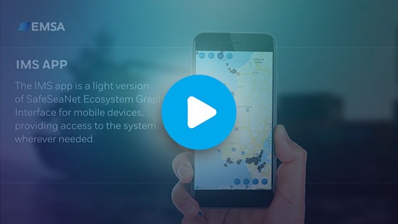
IMS app
The IMS app is a light version of the SafeSeaNet Ecosystem Graphical User Interface (SEG) for mobile devices. Offering on the go operational awareness, the app provides a range of functionalities, including a live vessel traffic picture, individual vessel details, and 48 hour tracking.
Long-Term Storage
The Long-Term Storage (LTS), part of the High Performance IMS (HP-IMS) project, is based on a Hybrid Cloud architecture. Its purpose is to implement a solution capable of storing and making available five years of position data to end users (AIS, LRIT, VMS). The data is stored on the cloud and made available via vessel track queries and area centric queries.
STAR tracking
STAR Tracking is the main ship tracking application at EMSA. It processes, stores, and correlates different data sets to provide end user services, which are displayed in the SEG application through the IMS mobile App.
STAR Tracking processes and stores up to 1700 ship position reports per second on a 24/7 basis from different ship reporting systems (MRS, T-AIS, S-AIS, LRIT and VMS). STAR Tracking can:
- merge ship positions to form ship tracks;
- correlate data sets with available positions in order to identify vessels whenever possible
- maintain an updated Operational Vessel Registry (OVR)
- distribute processed ship position information to other EMSA applications
STAR Tracking information is made available through the graphical interfaces (SEG and the IMS Mobile App) used by Member States, EU bodies, Enlargement Countries, SAFEMED and BCSEA users (for non-EU countries, under certain conditions), as well as to Frontex, via a dedicated front-end application.
The STAR Tracking application can also distribute, via system-to-system interfaces, the processed and merged ship position data to external systems. The application is governed by a series of complex access rights to ensure that only authorised users can view specific data sets.
Satellite data services:
EMSA SAT-AIS data services offer a global feed of real-time SAT-AIS data from external providers, EMSA users, participants and entities. The SAT-AIS data services support EMSA’s critical applications by:
- Exploiting the potential of the comprehensive maritime domain awareness in remote areas of the globe;
- Contributing to the tracking of the vessels and the calculation of related ship emissions
- Allowing tracking of ships in the polar areas
- Improving accuracy of the Automatic Behaviour Monitoring (ABM) algorithms
- Enhancing correlation and identification of vessels using Earth Observation (EO) based vessel detection services (VDS) and correlated positions processing
Providing improved identification of the potential rescue resources during deep sea operations via enhanced SARSURPIC tools.


