SEG Video Tutorials
What is new in SEG?
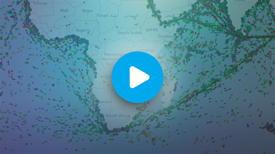
Vessels Tracks in SEG
New Replay Function
Vessel Track Query
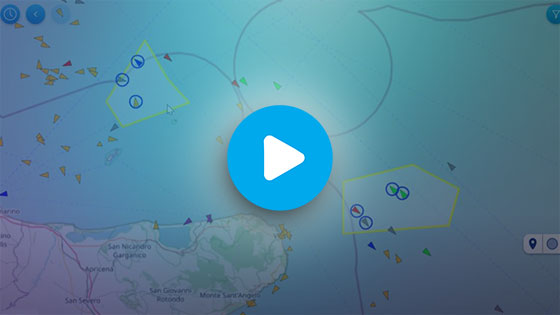
Area Centric Query
SEG 3.0
Introduction to SEG 3.0 main changes
Advanced Vessel Search
Vessel Selection
Non conformant vessel identifiers
SEG 2.0
The main objectives of the SEG 2.0 release are to bring performance improvements, remove the clustering view, and to add a number of new functionalities related to the maritime picture.
Removal of clustering
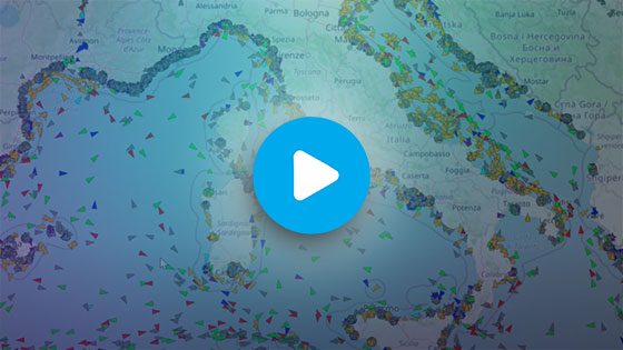
In the SEG version 2.0, the maritime picture is now available on a worldwide scale.
Vessel position source selection added
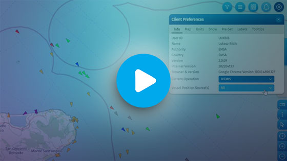
In the ‘Client Preferences’ it is possible to select the maritime picture built with specific sources of vessel positions:
- All (AIS, LRIT, MRS, VMS, any other source)
- AIS (includes all AIS: T-AIS, SAT-AIS, Ship-AIS, Commercial AIS)
- AIS+VMS
- VMS
When using a single vessel position source, the system will only consider positions from the selected source. For example, if VMS is selected, the position displayed will be the most recent VMS position location even if there is a more recent one from another source.
Note that the IMS access rights continue to apply. For example, if a user is not entitled to see VMS positions, and if this user selects the VMS layer, the maritime picture will be empty.
In the ‘Favourite’ functions, the vessel highlighting and labelling has changed.
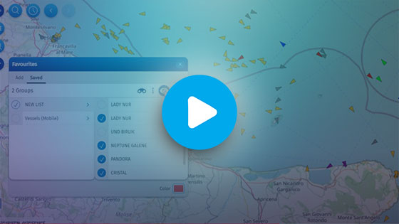
It is possible to highlight and/or display labels of ‘favourite’ vessels at all scales. Use the toggle on/off highlighting and labels for individual favourite vessel groups.
Filter out options have changed
Users can select the features to which the quick filtering will be applied on the maritime picture.
When clicking on the ‘filter out’ icon, all features matching the selected features in the OPTIONS menu are removed. All others remain on the screen.
The configuration of the filtering is saved and will apply to all filter out interactions.
Vessel and track symbol and legend
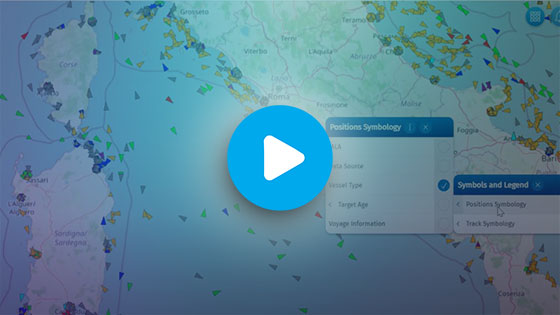
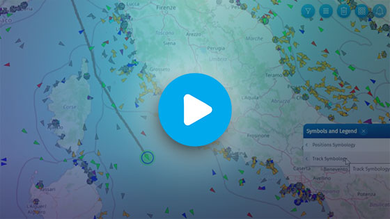
These functions have been moved from the layer menu to a new section on the right side of the application window.
'Back' and 'Forward' navigation has been added.
It is now possible to navigate back and forth through the map view (centre position and zoom level) via 'Back' and 'Forward' buttons available on the top left of the application.
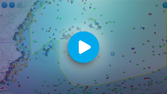
Selection by Area(s) has improved for vessels
In addition to the selection by a polygon, a new functionality has been added to allow users selecting vessels within an existing area.
To activate this function firstly select the 'Selection by area' mode, then select one area or several areas (by using the shift key) that are already on your screen.
As a result, all the vessels inside the areas will be selected and can be reused in other functions for viewing in the tables, requesting tracks or adding them to your ‘favourites.’
The vessel layer has been simplified.
Users can now filter out vessels directly from the layer branch
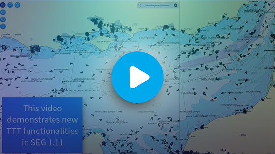
New TTT Functionalities*
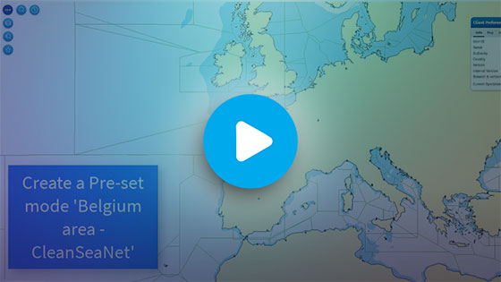
Preset Mode*
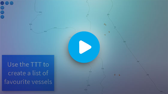
TTT to create vessel favourites*
How to build a list*

SEG General Layout
Client Preferences
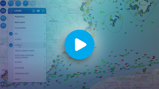
Layers Management
Querying Vessels Tracks
SafeSeaNet Information
CleanSeaNet in the SEG
Places of Refuge in SEG
How to create a POLREP
SEG for fisheries control and IUU

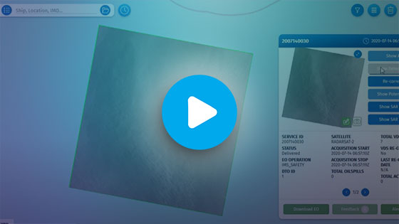
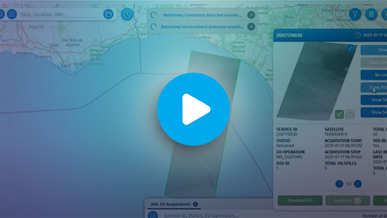
CleanSeaNet - Create Oill Spill Feedbacks
CleanSeaNet - Visualise Oill Spill Feedbacks
Vessel Detection and Vessel Traffic Information
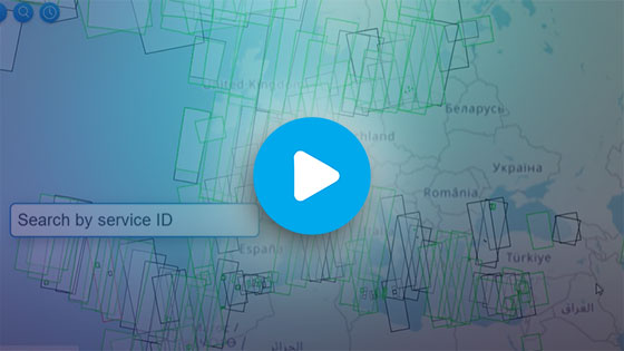
Search for Earth Observation data
Visualise Vessel Detection from Earth Observation